
Portolan 的起源故事:从 SDI 愿景到 Markdown 驱动的 GeoAI 新范式
在空间数据基础设施(SDI)领域深耕二十年后,Chris Holmes 分享了他创建 Portolan 项目的个人起源故事。这段经历不仅是对过往的反思,更揭示了地理空间信息共享长期面临的困境。
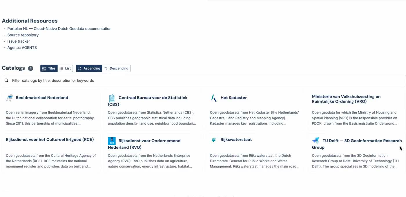
Holmes 回忆道,早在二十年前,业界就提出了 SDI 的宏伟愿景:让用户能够发现并使用地理空间信息,且不仅限于其最初被创建的目的(Kuhn 2005);或以可负担的成本,将来自众多不同来源的空间相关数据传递给最广泛的潜在用户(Groot & McLaughlin 2000)。然而,他坦言,所有这些 SDI 倡议从根本上都远远未能实现这一愿景。 人工智能的早期崛起让 Holmes 更加清晰地认识到这一失败。他以“世界田野”(Fields of The World, FTW)项目早期的一个例子来说明:如果 SDI 曾经成功,那么像“堪萨斯州有多少块田地?”这样的问题,对于大语言模型(LLM)来说应该轻而易举就能回答——毕竟 LLM 吞噬了世界上所有的信息,地理空间信息自然也应该在其中。但现实是,这类信息的缺失恰恰反映了行业的失败。Holmes 认为,我们本应做得更好,让基础地理空间信息真正开放且可访问,以便前沿实验室能够轻松获取和利用。 令人惊讶的是,Portolan 的解决方案并非更多的基础设施、新的 API 或一堆 MCP 服务器。相反,它只是一些 Markdown 文件、JSON 文档,再加上少量技能(skills)点缀其上,为 AI 智能体指明正确的方向。这种简单到令人难以置信的设计,恰恰使其能够在当今成千上万的机器人疯狂抓取网络上每一丝可用信息的洪流中,展现出更好的扩展性。正是这种简洁的设计,赋予了 Portolan 巨大的潜力。 Holmes 的故事不仅是对过去 SDI 运动的深刻反思,也为地理空间信息在 AI 时代的发展提供了全新思路。Portolan 用最轻量的方式,试图解决最根本的问题:让地理空间数据真正开放、可发现、可被 AI 理解和使用。 想要了解 Portolan 背后的完整技术细节与设计理念,请点击原文链接查看全文。
编译自 Lat Long Blog,原文链接
原文摘要
Portolan’s Origin Story as Told by Creator Chris Holmes
Link: 9eo.org Chris Holmes shares his personal origin story of Portolan, which is rooted in his experiences building spatial data infrastructures twenty years ago. The early rise of AI made it even more clear to me that all the past SDI initiatives had fundamentally fallen far short of the vision to ‘enable the discovery and use of geospatial information by users and for purposes other than those it was created’ (Kuhn 2005) or to deliver ‘spatially related data from many different sources to the widest possible group of potential users at affordable costs’ (Groot & McLaughlin 2000). […] the example Jen Marcus (another of the people I’ve most enjoyed working with) and I would give in the early days of Fields of The World (FTW) - ‘How many fields are there in Kansas?’ If SDIs had been successful then this should be trivially easy for an LLM to answer - they sucked up all the world’s information and so of course geospatial information should be there too. But I see the lack of that information as a failure of our industry - we should have done better and actually made foundational geospatial information open and accessible for the frontier labs to gobble it up. Astonishingly, Portolan’s solution isn’t more infrastructure, new APIs, or a fleet of MCP servers. It’s just a bunch of Markdown files, JSON documents, and a couple of skills sprinkled on top, pointing AI agents in the right direction. It’s so unbelievably simple that it scales better under today’s deluge of a thousand bots slurping up every last bit of information available on the Web. This simple design is why Portolan has such huge potential.